We believe visualising efforts towards sustainability will inspire others to do the same!
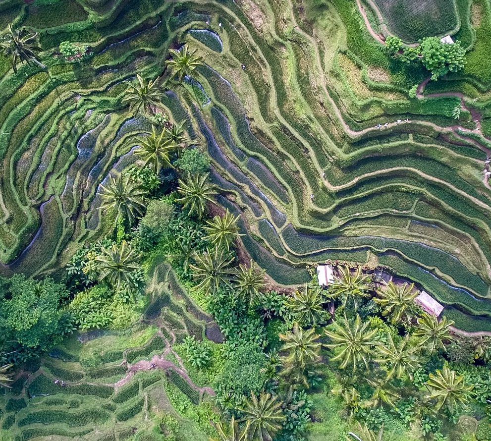
Our earth is the result of the interaction between the landscape and the people within. The most important thing in this world is to find balance. A balance between what the landscape needs and what people need.
Geodata gives us an insight in where we can find this balance. It shows what the landscape needs and what the influence of people is over space and over time. This is necessary to provide a sustainable future for us…
A future which is stable, because of a strengthened and robust environment.
WHY?
Use geodata as extra resource in your landscape to achieve the highest impact possible
What?
Objectively plan, monitor, evaluate and visualise your efforts in sustainability
HOW?
We will enrich your view with extra and actionable data over time and space
WHEN?
In every moment, we will visualise your efforts towards sustainability!
How can we help you?
Are you curious what (your) data could tell you?
Or are you ready to show the world what you did for the future of our planet?
We advise, support planning, create a baseline, monitor and evaluate geospatial information.
Advise & Action
Planning & Baseline
Monitoring & Evaluation
Visualisation